TIRAP DDMA
THIS PAGE CONTAINS INFORMATION RELATING TO DISTRICT PROFILE, DDMP’s, RESOURCE INVENTORY AND ACTIVITIES
Location: The District derives its name from the river Tirap which originates in the district and flows through Changlang District of Arunachal Pradesh. It lies in between the latitudes 26º 38’ N and 27º 47’ N and the longitudes 96º 16’ E and 95º 40’ E. It is bounded by Myanmar towards South, by Changlang District of Arunachal Pradesh towards the east, by Dibrugarh District of Assam in the North and by Sibasagar (Assam) and Longding districts towards the West.
Area and Administrative Division: The entire area of the District is covered with high hills and deep gorges. There are hardly a few plots of plain land available in the villages lying close to the plains of Assam. It covers a total area of 1170 square km and is the smallest district of Arunachal Pradesh. However, it has the highest density of population of 47 persons per square kilometer (as per 2011 census) in Arunachal Pradesh represented by four MLAs. The district is divided into two sub-division namely Khonsa and Deomali with five administrative centers.
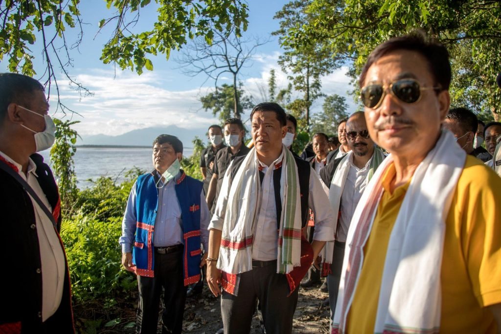
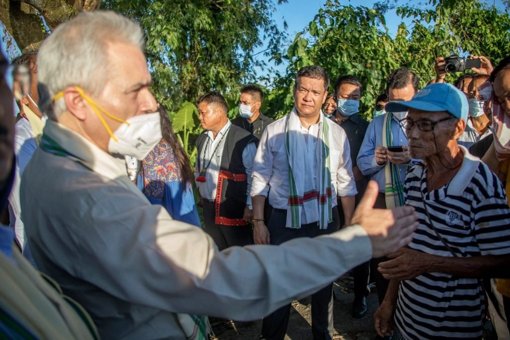
Dated: 1 Septemeber 2020 : Honble CM & Minister fro the Center Inspected flood damages caused by the ravaging Siang river in #EastSiang district of Mebo area in Namsing circle


District Disaster Management Plan
The Tirap District Disaster Management Plan is given below: It also contains the Resource inventory of the district