Upload your district profile here
DISTRICT PROFILE
DISTRICT DISASTER MANAGEMENT AUTHORITY CONSISTS OF FOLLOWING MEMBERS, NAMELY:
- Deputy Commissioner Ex-Chairman ex-officio
- Chairperson, ZPM Co- Chairperson
- Additional Deputy Commissioner Chief Executive Officer
- Superintendent of Police Member
- District Medical Officer Member
- District Disaster Management Officer/ FO Convenor
- EE (PHED ) Member
- DAO Member
OVERVIEW OF THE DISTRICT:
Changlang District was created on 14th Nov 1987 by bifurcating from Tirap District. The nomenclature of Changlang has been derived from the local word ‘CHANGLANGKAN’ which means a hilltop were people discovered a poisonous herb used for poisoning fish in the rivers.
LOCATION:
Changlang District is located in the south-eastern corner of Arunachal Pradesh. It has an area of 4662 sq.km. and lies between the 26º40’to 27º 40’N Latitude and 95º11′ to 97º10’E Longitude.
SOCIO – ECONOMIC PROFILE:
The major tribes residing in Changlang district are Tangsas, Singphos, and Tutsas. The Tangsa tribe is comprised of a number of sub-tribes namely; Muklom, Havi, Longchang, Mossang, Jugli, Kimsing, Ronrang, Mungrey, Lungphi, Longri, Ponthai, Sangwal, Tikhak, Yungkuk, Salieng and Thampang.
The Singphos occupy the plain foothills area of northern part of the district under Miao, Bordumsa and Diyun circle. The Tutsas live in the western part of the district Changlang and Khimyang circle. Other tribes who have migrated to the district are noctes (APST), Lisus and Deoris. The Tibetans, Chakmas and Hajongs has been inhabitant in this district as refugees.
So far the religion is concern each tribe has its own traditional belief and practices. The singphos are Buddhist by religion but still they practice their own traditional belief of their ancestors. The Tutsas and Tangsas believe in the existence of a supreme being called ‘Rang rah’. Besides they also believe in number of dieties and spirits.
The housing pattern of all the tribes is almost same. They have machang type of houses with single room having two Chullas. They cook and sleep in the same room. However, besides the indigenous house of the villagers and poor people, there are SP type houses and RCC buildings in the townships area and in some villages also.
The Tangsas and Tutsas have democratic form of social life. They do not have kinship system. All the village disputes are settled by the Panchayats i.e. Gaonburas.
The economy of the indigenous people is largely dependent on agriculture and allied activities. They also rear domestic animals like cattle, pig, goat and poultry birds. There are total no. 365 villages in the district.
AREA AND ADMINISTRATIVE DIVISION
The administrative set up of the district is based on single line administration, which aims to keep close co-operation amongst various developmental departments with the administration and thus work together for the speedy development of the area. Of the total area, the district is divided into 4 (four) sub- divisions, 16 (Sixteen) circle headquarters and 8 (Eight CD Blocks). It has 11 (eleven) nos of Anchal Blocks.
The Deputy Commissioner being the overall in-charge of the district maintains law and order with the help of Administrative officers and police force. The villagers have their own customary system in form of traditional village councils consisting of the Gaonburas and members.
Sub Divisions in Changlang District: (04 Nos.)
- Changlang with Deputy Commissioner
- Miao with Additional Deputy Commissioner
- Bordumsa with Additional Deputy Commissioner
- Jairampur with Additional Deputy Commissioner
Anchal Block in Changlang District: (07 Nos.)
- 14/1 Bordumsa
- 14/2 Diyun
- 14/3 Miao
- 14/4 Nampong – Rima Putok
- 14/5 Manmao – Jairampur
- 14/6 Khimyang
- 14/7 Changlang
Circles in Changlang District: (13 Nos.)
- Changlang with Deputy Commissioner
- Miao with Additional Deputy Commissioner
- Bordumsa with Additional Deputy Commissioner
- Nampopng with Sub Divisional Officer
- Namtok with Extra Assistant Commissioner
- Jairampur with Additional Deputy Commissioner
- Kharsang with Circle Officer
- Manmao Extra Assistant Commissioner
- Diyun with Extra Assistant Commissioner
- Khimiyang Extra Assistant Commissioner
- Vijaynagar with Circle Officer
- Yatdam with Circle Officer
- Rima- Putok with Circle Officer
- Kantang with Circle Officer
- Renuk with Circle Officer
- Lyngok-Longtoi with Circle Officer
Community Development Block: (07 Nos.)
- Changlang CD Block
- Khimiyang CD Block
- Bordumsa CD Block
- Diyun Block CD Block
- Manmao CD Block
- Nampong CD Block
- Miao – Khagam CD Block
- Vijaynagar
International Border Block with Myanmar: (03 Nos.)
- Khimiyang
- Maio-Khagam
- Jairampur – Manmao
Distance of administrative centres from Changlang Headquarters:
| Sl. No. | Place | Distance | Mode of communication |
| Changlang to Khimyang | 36 km | APST | |
| Changlang to Manmao | 130 km | APST | |
| Changlang to Jairampur | 90 km | APST | |
| Changlang to Nampong | 105 km | APST | |
| Changlang to Kharsang | 90 km | APST | |
| Changlang to Miao | 112 km | APST daily service | |
| Changlang to Vijoynagar (via Miao) | 269 km | APST | |
| Changlang to Namtok | 56 km | APST | |
| Changlang to Diyun (via Miao) | 149 km | APST | |
| Changlang to Bordumsa | 105 km | APST | |
| Changlang to Yatdam | 16 km | APST | |
| Changlang to Rima – Putok | 120 km | APST | |
| Changlang to Renuk | 146 km | ||
| Changlang to Lyngok-Longtoi | 120 km |
Physical Region:
The geographical region of the district has its distinct features. The place like Miao, Diyun, Bordumsa, Kharsang circle and few stripes of land in some parts of Changlang headquarter, are plain where as rest of the district is covered with hills. The altitude of hills varies from 200 m to 4500 m that generally slopes downward the northeast. The highest peak of the district is 4500m above sea level.
Climate, Temperature and rainfall
The climate of the district varies from place to place due to mountainous nature of the terrain. The areas located in lower elevation and in the valleys experience hot and humid climate in summer. The climate of the rest hilly areas is moderate and pleasant. The maximum temperature recorded is about 26.96 ºC and the minimum temperature recorded is 18.63ºC. The quantity of rainfall varies significantly at different places due to terrains. The average annual rainfall varies from 3800mm – 4866mm.
Upload your ddmp file here.. First upload then leave the link to the pdf here..https://sdma-arunachal.in/wp-content/uploads/2020/10/DDMP-CHANGLANG-2020.pdf
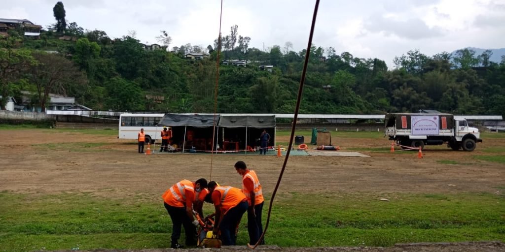
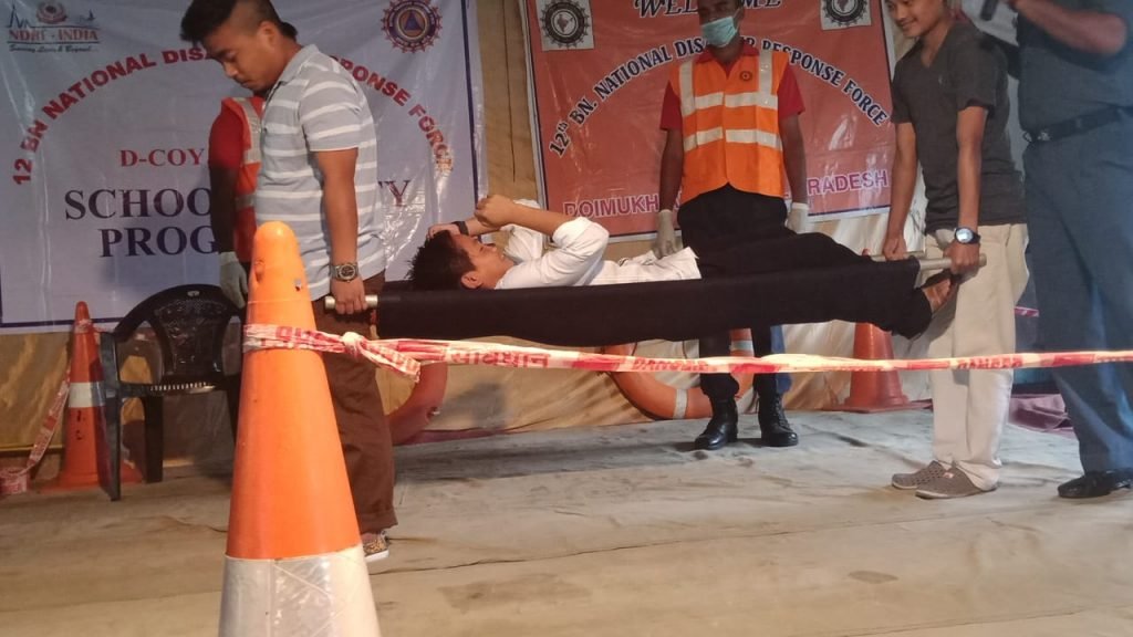
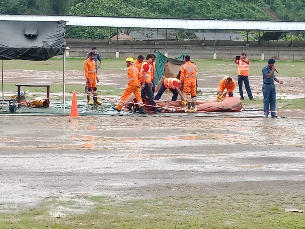
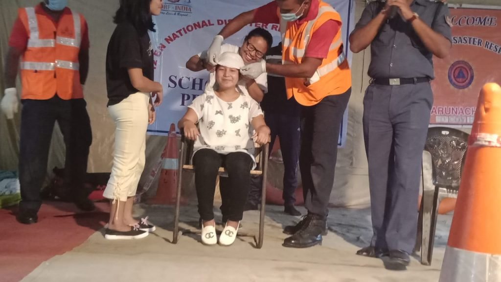
ADD YOUR ACTIVITIES HERE BY CREATING A gallery