ITANAGAR CAPITAL COMPLEX
THIS PAGE CONTAINS INFORMATION RELATING TO DISTRICT PROFILE, DDMP’s, RESOURCE INVENTORY, ACTIVITIES
The State Capital complex, a new administrative unit was bifurcated from Papumpare district for sake of administrative convenience on 1st October 2008 with Deputy Commissioner covering Naharlagun circle, Banderdewa Circle, and Itanagar Circle. Itanagar is located on the southern part of Arunachal Pradesh
| AREA | 491 km² |
|---|---|
| LATITUDE | 20 - 0’ N to 20-25’ North |
| LONGITUDE | 72- 50’ E to 73-15’ E East |
| GEOGRAPHICAL REGIONS | Itanagar: Itanagar is situated at the foothills of Himalayas.Situated at above 300msl |
| CONNECTED DISTRICTS/STATES | Assam in south, papumpare district In north Lower Subansiri in East and east Kameng in west |
| ACCESSIBLITY | Itanagar now well connected with railway from Naharlagun to New Delhi via Guwahati Connected to National Highway No.415, from Guwahati to Itanagar. RegularHelicopter service is available from Guwahati to Naharlagun (Itanagar). |
| MIN0R/MAJOR RIVERS | Dikrong,Barapani,Pachin,Senki |
The District Disaster Management Plan (DDMP) is the first hand guiding principle for disaster management. It will play a pivotal role to cope up with unseen nature’s fury that occurs every year. The information available in DDMP is valuable in terms of its use throughout the DM cycle. Utmost attention has been paid to make it handy, precise rather than a bulky one. While preparing this plan, most of the issues, relevant to crisis management, have been carefully dealt with. Efforts have been made to collect and develop this plan to make it more applicable and effective to handle any type of disaster in the Capital. The DDMP also contains the Resource inventory of the district.

school safety program 
mock drill 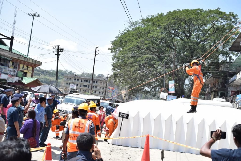
mock drill 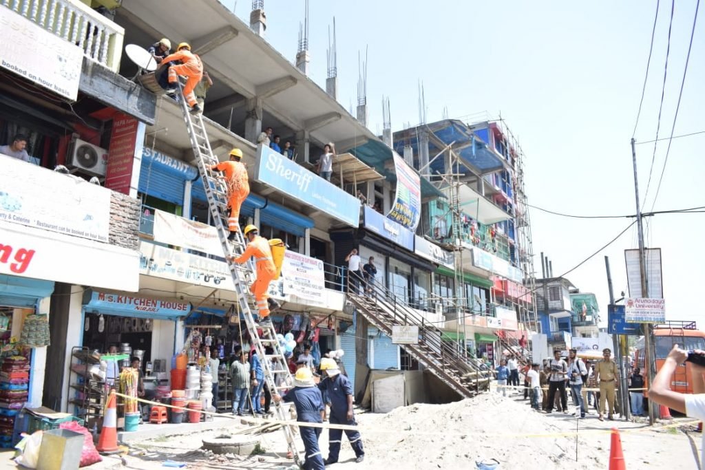
mock drill 
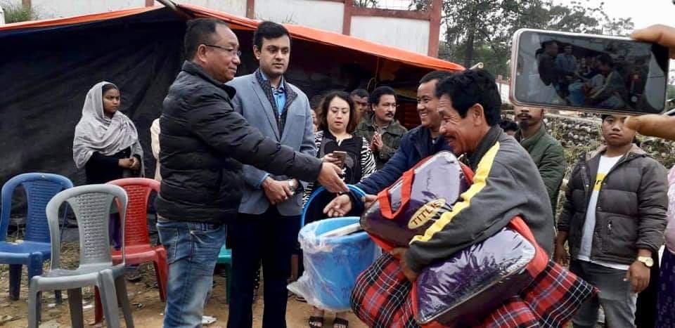
relief distribution 
school safety programs 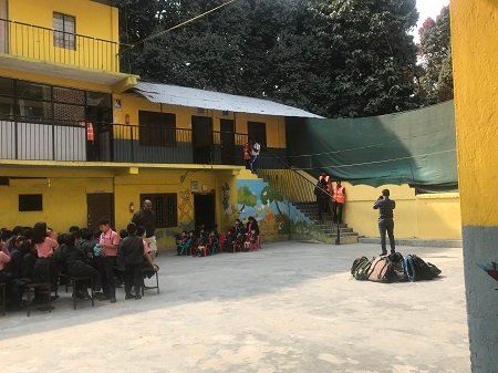
school safety programs 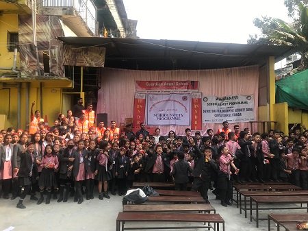
school safety programs